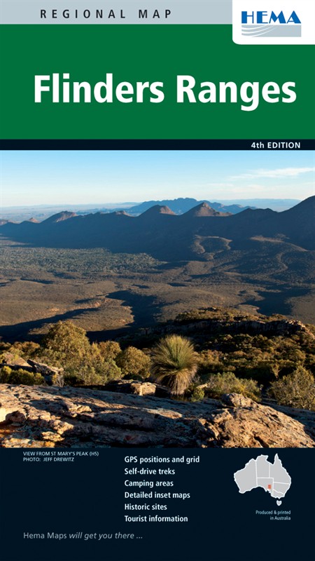
Flinders Ranges Regional Map
The Flinders Ranges are a huge collection of mountain ranges and semi-desert, but they used to be a sea bed. Who says nothing happens in South Australia? They've been mountains for a while though - about half a billion years - so don't take your surfboard with you. Your 4x4 is highly recommended though, because there are some great tracks to explore. Along the way you'll see abandoned farms, spectacular limestone cliffs and a massive variety of native Australian wildlife. Have a look at the Ediacara Hills, which have a whole geological era named after them, and take in three national parks (all with loads of great 4x4 trails) and other conservation areas.
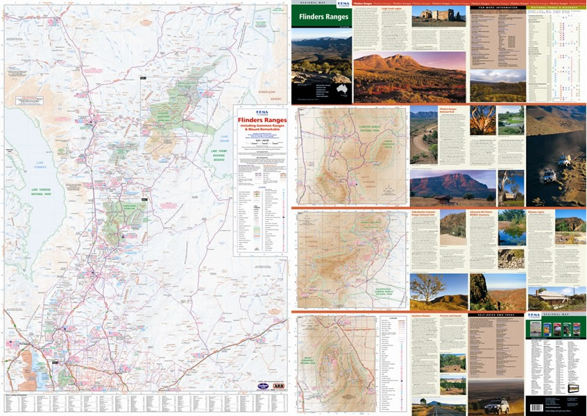
This high quality map of the Ranges is to 1:400,000 scale and features new digital mapping with GPS-surveyed roads and tracks. There are plenty GPS locations to keep you on course. The other side has maps of the Flinders, Gammon and Mount Remarkable National Parks as well as contact numbers, park facilities and campsite information.
Map Info:
Size: 700x1,000mm
Edition: 4th
Published: 2011
ISBN: 9781865004037
 Hema Regional Maps
The popular range of regional maps range from touring maps of coastal locations and popular national parks, to the more hardcore 4WD destinations and outback locations. Each product contains information on what there is to do and see in the region too, making them perfect planning tools.
Click here to buy a Hema Regional Map.
Get In Touch
Please use the form below to contact Tough Toys via email.