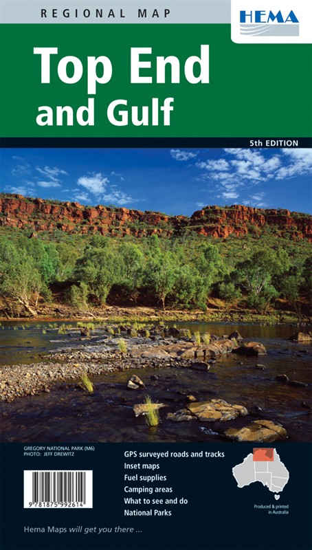
Top End & Gulf Regional Map
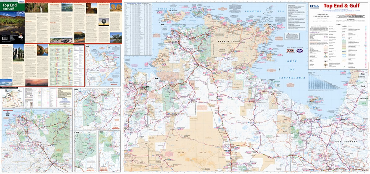
A lot of people head up the Top End to see places like Kakadu National Park, and it's worth the trip. Why tie yourself down, though? The whole area's worth a look, both the Top End itself and the Gulf coast to the east. There are plenty more national parks as well; Keep River, Lawn Hill and Nhulunbuy are all worth a look.
This map is the perfect companion to the Top End National Parks sheet. It shows the whole Top End and western Gulf at 1:2,000,000, but despite the scale it's still as clear as you could ask for and packs in loads of information. Roads and tracks are marked with distances, plenty of GPS coordinates are shown and symbols point out sites of interest, camp sites and fuel stops. Turn the sheet over for a town index with GPS data, contact and facilities info for the parks and plenty more information; you'll also find inset maps of Keep River, Lawn Hill and the Darwin area. As usual with these Hema maps there are some great photos, too.
Map Info:
Size: 700x1000mm
Edition: 5th
Published: 2012
ISBN: 9781875992614
 Hema Regional Maps
The popular range of regional maps range from touring maps of coastal locations and popular national parks, to the more hardcore 4WD destinations and outback locations. Each product contains information on what there is to do and see in the region too, making them perfect planning tools.
Click here to buy a Hema Regional Map.
Get In Touch
Please use the form below to contact Tough Toys via email.