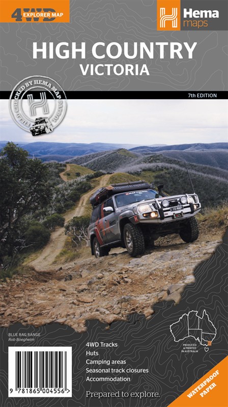
Victorian High Country Regional Map
Victoria's high country contains what else - mountains. Here you'll find Mount Kosciuszko, the highest peak in Australia, and some really rugged terrain around it. It's no surprise that the area's full of great trails and off road driving opportunities. There are thousands of kilometres of trails Be prepared to bash through some snow if you visit in winter - there's a reason this place is popular with skiers. Visit in summer and you can get down to some rafting, hiking or fishing. In fact if you like the outdoors it's a great destination all year round.
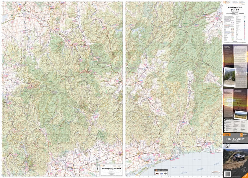
The main map covers the area between Glenrowan, Berridale, Marlo and Westbury; this new edition includes Wangaratta, Jindabyne and Orbost. There's loads of information, with symbols showing fuel availability, campsite details and plenty more. Handy contact numbers are given as well as road and track distance information. The map is printed on heavy duty synthetic paper, so it's waterproof and just about indestructible.
Map Info:
Scale: 1:200,000Size: 700x950mm
Edition: 7th
Published: 2012
ISBN: 9781865004556
 Hema Regional Maps
The popular range of regional maps range from touring maps of coastal locations and popular national parks, to the more hardcore 4WD destinations and outback locations. Each product contains information on what there is to do and see in the region too, making them perfect planning tools.
Click here to buy a Hema Regional Map.
Get In Touch
Please use the form below to contact Tough Toys via email.